ARmEO: revolutionizing agriculture with satellite data and Augmented Reality
Imagine this: you're a farmer or a scientist, you are standing in the field and you can also see a holographic map showing you the crop growind conditions and how this compares to nearby fields. This is the future of field scouting envisioned by ARmEO, a project funded by the Austrian Space Application Programme (ASAP FFG).
Boosting the power of satellite data
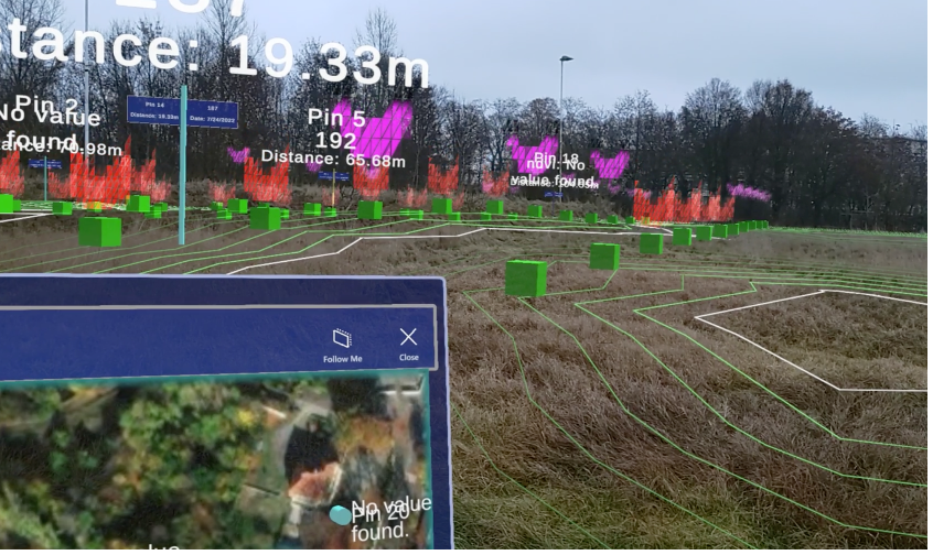
ARmEO focused on making satellite data more user-friendly and helpful for farmers and scientists working in the field. It developed a crop benchmarking tool that compares your crops' growth to similar fields. This helps you identify any issues early on. It also created a yield potential map to show within field variability and to optimize fertilizer use, saving you money and protecting the environment.
Bringing data to life with Augmented Reality
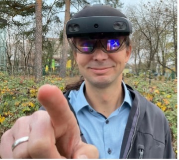
ARmEO didn't stop there. It built a prototype AR application using Microsoft Hololens 2. This lets you see satellite data overlaid on your field in real-time using holographic maps and information. It's like having a virtual assistant helping you analyze your crops directly in the field.
The future of farming is here
ARmEO's project demonstrates the potential of combining satellite data and AR to transform agriculture. By improving accessibility, usability, and effectiveness of this data, ARmEO paves the way for more sustainable and efficient farming practices. The project also highlights the importance of collaboration among farmers and stakeholders to create a brighter future for agriculture with data sharing.


Contact Person
Francesco Vuolo, Dr.
- Stellvertreter
- H85700 Institut für Geomatik
- francesco.vuolo@boku.ac.at
- Telefon
- +43 1 47654-85735
- Postadresse
-
Institut für Geomatik
Peter-Jordan-Straße 82
1190 Wien