New Nationwide Geospatial Dataset of Photovoltaic Installations in Austria
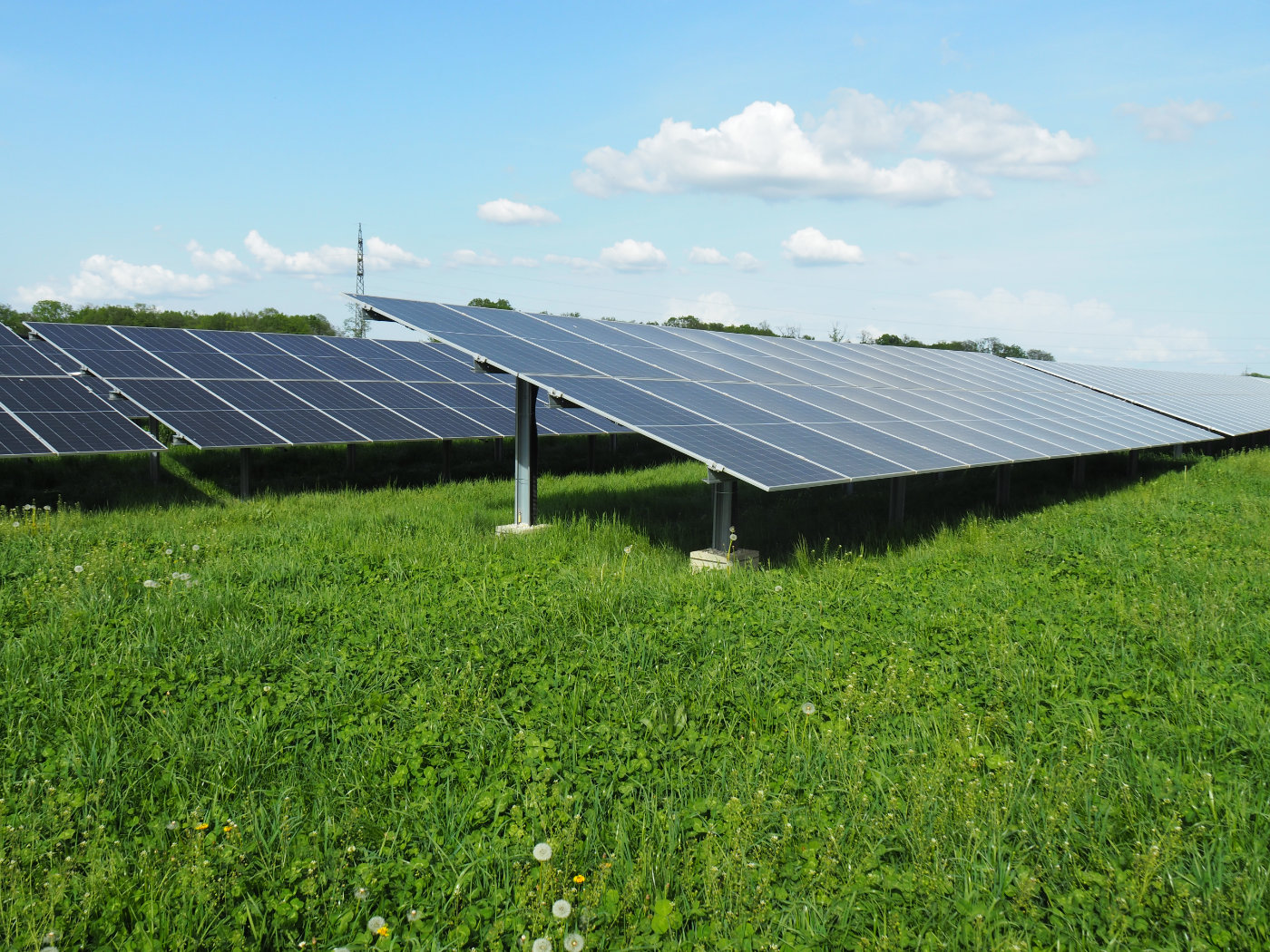
As part of the master thesis “Automatic segmentation of photovoltaic panels in Austria and modelling of its impact on landscapes and the energy system,” conducted by Florian Wiesenhofer and supervised by Thomas Schauppenlehner, a nationwide geospatial dataset of photovoltaic installations in Austria has been developed. Using machine learning methods and GIS analyses, PV modules were detected in orthophotos and classified with the help of digital surface models by location, size, type, and orientation. Based on a 20-year climate measurement series (2004–2023), energy yields were also calculated at monthly and hourly resolution. The dataset is published on Zenodo under a Creative Commons Attribution license (CC BY) and is freely available for use across Austria—for research, planning, the energy sector, and public administration.
- Coverage: Austria
- Content: Location, size, typology, and orientation of PV modules (based on BEV ortho images)
- Energy modelling: Yield modeling at monthly and hourly resolution (2004–2023)
- Methods: Machine learning (YOLOv8) on ortho images; analysis of digital surface models
- Availability: Zenodo DOI: 10.5281/zenodo.18152781
- License: Creative Commons Attribution 4.0 International