Hydrological Stations
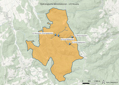
The HyWa measuring network in the Lehrforstzentrum Rosalia
Around 100 hydrometeorological measurement variables are recorded at 9 locations in the training forest with a total of approx. 40 sensors with a temporal resolution of generally 10 minutes and can be visualized or queried as data sets via a web interface.
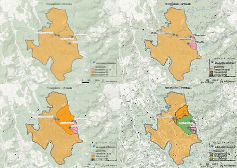
When selecting the hydrological measuring points, care was taken to ensure that catchment areas of different sizes could be covered and that the measuring points could be set up and maintained over the long term with relatively little effort. Sites Q1 (Mittereckgraben) and Q2 (Grasriegelgraben) were chosen, with catchment areas of 9 and 27 ha respectively. Another site, Q3, was included: the Grasriegelgraben measuring weir, which has been in operation since 1983 and covers 223 ha, was equipped with a new water level probe (in parallel operation with the previous measurement), rain gauge, temperature and humidity sensor.
Furthermore, new precipitation gauges were installed at the climate stations K1 Heuberg and K2 Mehlbeerleiten, so that the data from all stations is recorded in the same way and is also accessible in the same way.
The main objectives are
- Obtaining data to investigate transport processes in the soil, water, plants and atmosphere system
- Focus: “from point to surface”
- Creation of comprehensive reference and background information for research projects on future catchment management under the influence of climate change
- Creation of an “open” infrastructure for data collection and processing
Measuring gauge Mittereckgraben (Q1)
Measuring gauge Mittereckgraben (Q1)
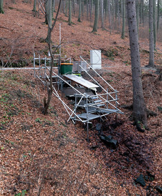
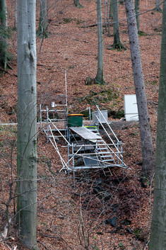
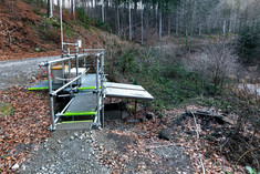
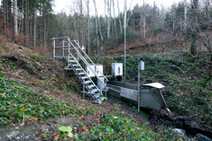
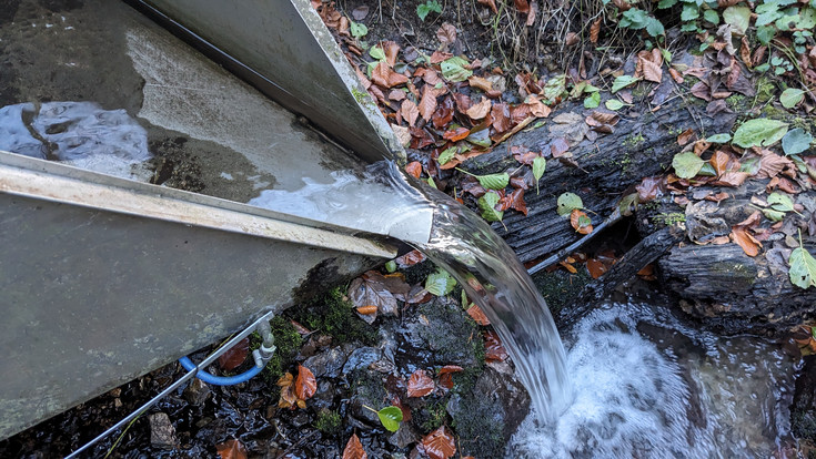
The Q1 Mittereckgraben measuring point is located on the forest road that leads from the Grasriegelgraben measuring weir on the right bank of the Mittereckgraben up to the educational forestry center. It is located directly below the experimental area operated by the Institute for Soil Research in recent years and uses a pipe culvert through the forest road as a water catchment. The measuring channel is designed as an H-flume.
The following values are measured at measuring point Q1:
- Flow rate: using a 1-Ft H-flume to measure the water level, flow rates below 0.02 l/s are measured using a tipping counter
- Precipitation: by means of an ADCON RG1 precipitation gauge
- Air temperature and soil moisture: ADCON TR1 combination sensor
- Electrical conductivity and water temperature: Measurement using a Ponsel C4E probe
- Soil water and temperature: Stevens Hydraprobe II probes
The data acquisition and remote transmission of all measured data is carried out using an ADCON RTU.
Measuring gauge Grasriegelgraben (Q2)
Measuring gauge Grasriegelgraben (Q2)
The measuring point Q2 Grasriegelgraben is located on the forest road that leads from the Grasriegelgraben measuring weir on the left bank of the Grasriegelgraben up to the educational forestry center. It also uses a pipe culvert through the forest road as a water catchment.
The design of the measuring point is basically the same as for measuring point Q1, but no tipping meter was installed.
Measuring weir Grasriegelgraben (Q3)
Measuring weir Grasriegelgraben (Q3)
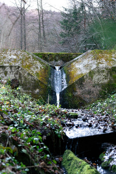
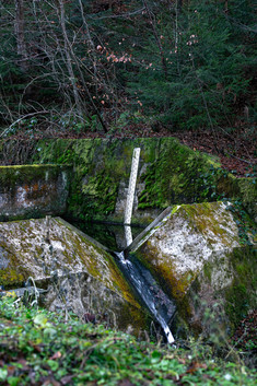
The Grasriegelgraben measuring weir was built in 1983 as part of the Waldsterben research initiative
and covers a catchment area of approx. 223 ha. It is a
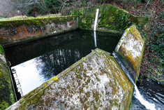
Thompson triangular weir with 2 sedimentation and stilling basins upstream.
The measuring weir is equipped with a staff gauge and, for more than 20 years, with a pressure probe to measure the water level, which is recorded on a data logger at 5-minute intervals. In September 2015, a new Keller PR-46X pressure probe was also installed in parallel operation. Data is recorded using an RTU.
Measuring gauge Grasriegelgraben (Q4)
Measuring gauge Grasriegelgraben (Q4)
The measuring point Q4 Grasriegelgraben is located on the forest road that leads from the Grasriegelgraben measuring weir on the left bank of the Grasriegelgraben up to the educational forestry center. It uses a culvert made of concrete pipes with a diameter of 1 m through the forest road as a water catchment.
In accordance with the higher water flow, a 2-Ft H-flume was installed here, with a measuring range of 0.04 to 315 l/s. The upper limit corresponds approximately to an HQ5.
- At measuring point Q4, the flow rate is measured using the 2-Ft H-Flume by measuring the water level.
- Precipitation is measured using your ADCON RG1 ombrometer.
- The air temperature and humidity are measured using an ADCON TR1 combination sensor.
- Electrical conductivity and water temperature are measured using the s::can condu:lyzer.
- The water quality parameters TOC, NO3-N and turbidity are monitored using a s::can spectrometer probe multi::lyser.

