HyWa applied projects
Main topics
Flood risk management
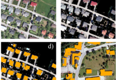
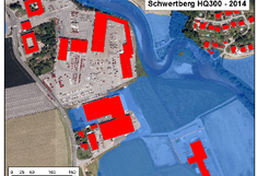
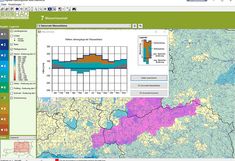
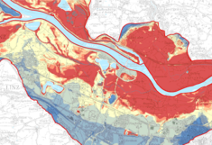
The implementation of the EU Flood Directive requires the preparation of flood hazard and flood risk maps as well as detailed flood management plans. This procedure needs to be renewed every 6-year, representing a challenge for many Austrian states. HyWa has been commissioned and cooperated with The Federal State of Upper Austria has developed appropriate procedures and methods, e.g. to be able to estimate the damage potential and its temporal development. To achieve this, methods from remote sensing and "machine learning" were combined to estimate buildings (areas) and the damage potential.
Selected publications:
Contact:
Operational flood forecasting
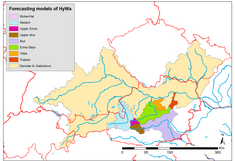
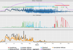
In Austria, the devastating flood events of 2002, 2005 and 2013 caused damages of around € 4 billion and claimed more than a dozen lives. In addition, further damage was recorded in a number of smaller flood events. Flood prediction models can make a significant contribution to reducing damage and saving lives in the event of an incident. The COSERO rainfall runoff model developed at HyWa is operationally used by hydrographic services in Austria for the purpose of flood forecasting and is being continuously further developed.
Seelcted publications:
Contact:
Runoff prediction for hydro power management
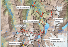
Austria receives almost 2/3 of its electricity from hydropower. Accurate forecasting of inflow volumes is a crucial element in energy planning, e.g. for the VERBUND AG. To this end, HyWa developed the rainfall-runoff model COSERO, which is a central component of the energy management planning system and is being continuously developed
Selected publications:
Contact:
Detecting leaks in drinking water and waste water pressure pipes
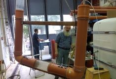
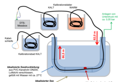
Currently, about 160 km of sewage pipelines are installed at the bottom of Austrian lakes. Their technical life span, however, has already been exceeded in some cases and extended leakage and the continuous discharge of wastewater into the lakes is to be expected in the future. HyWa has developed a new leak detection method in cooperation with the BOKU Institute of Sanitary Engineering and Water Pollution Control based on DTS technology (DTS) and has successfully tested it in the laboratory.
Selected publications:
Contact:
Temperature monitoring in aquatic and agricultural ecosystems
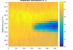
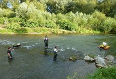
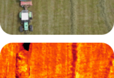
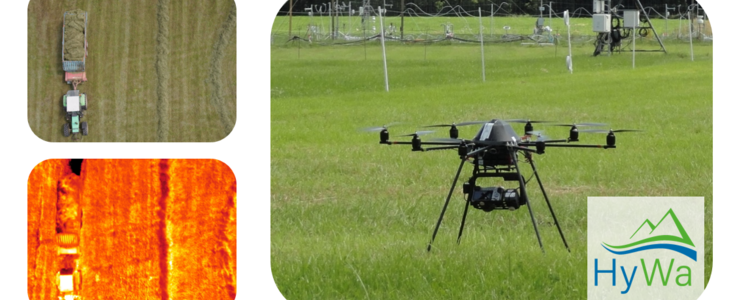
Due to climate change, the air temperatures will continue to rise and rainfall events will become more variable. This means that the temperatures of surface waters and groundwater will also be affected. For agricultural cropping systems, these altered climatic boundary conditions can lead to an increase in plant stress with corresponding production losses. Using the DTS technique (DTS) and drone-based thermal remote sensing (UAV), it is possible to capture the temporal-spatial dynamics within these systems.
Selected publications:
Contact:
Impacts of climate and land use change on water quantity and water quality
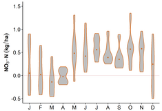
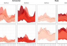
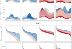
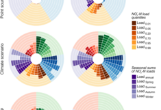
Climate change and land use change are two of the most dominant drivers that impact the hydrology and the nutrient transport processes in catchments and in riverine ecosystems. In order to develop and evaluate sustainable management strategies and to implement corresponding best measures (e.g. within the Water Framework Directive and the Nitrate Directive), models are used. One model is the Soil and Water Assessment Tool (SWAT) model for simulating discharge and nutrient transport from catchments under varying boundary conditions. Field adaptation measures to minimize nutrients losses under climate change conditions are also determined.
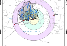
The model is applied to individual catchments in the Danube Region, as well as used in sustainable development projects in Kenya, Uganda and Nigeria.
Contact:
Management of water ressources in skiing ressorts
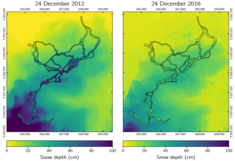
Due to climate change, temperatures have increased disproportionately in the Alpine region. Likewise, the number of snow days has decreased and the snow line has increased significantly, with corresponding consequences for ski tourism. Increasing snowmaking of ski slopes, increasing tourism in the wellness resorts as well as altered runoff regimes of rivers require a long-term sustainable water management. HyWa develops concepts for the optimization of snow-making processes in cooperation with other leading institutes in the field of snow research (such as the SLF) as well as with companies such as PistenBully and TechnoAlpin as part of the EU project PROSNOW .
Selected publications:
Contact:
The Hydrological Atlas of Austria
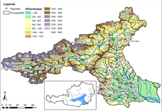
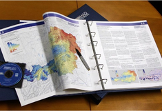
The design and production of the Hydrological Atlas of Austria (HAA) was coordinated by HyWa researchers. The HAA offers a uniform and consistent representation of hydrologic information about Austria. This detailed knowledge is made accessible to a wide audience in an illustrative form. Its aim is to increase public awareness to the fact that water is a precious resource. The contents of the atlas and its presentation are useful for meeting the information demand expressed through the different areas of public interest e.g. research, education, economy and politics.
Selected publications:
BMLFUW (Hrsg) (2007): Hydrologischer Atlas Österreichs. 3. Lieferung. Bundesministerium für Land- und Forstwirtschaft, Umwelt und Wasserwirtschaft, Wien
Contact:
Communication of uncertainties
Many forecasts in the field of water management are subject to major uncertainties. Nevertheless, decisions and measures based on these uncertainties have to be taken. Therefore, uncertainties have to be communicated to stakeholders in an understandable way. HyWa developes appropriate procedures and visualization capabilities that support this process.
Selected publications:
contact:
Estimation of extreme groundwater levels
The Hydrographic Services receive hundreds of inquiries every year regarding the highest groundwater level in connection with construction projects, as well as the granting of gravel removal (wet or dry dredging). We evaluated extreme value statistical methods for the estimation of relevant groundwater levels in pore aquifers and provided these methods for operational implementation to the hydrographic services in federal and state governments. The procedure was also included in the guidelines for gravel extraction.
Selected publications
Fürst J, Bichler A, Konecny F (2011): Ermittlung extremer Grundwasserstände
Contact:
Stakeholder and Partners


