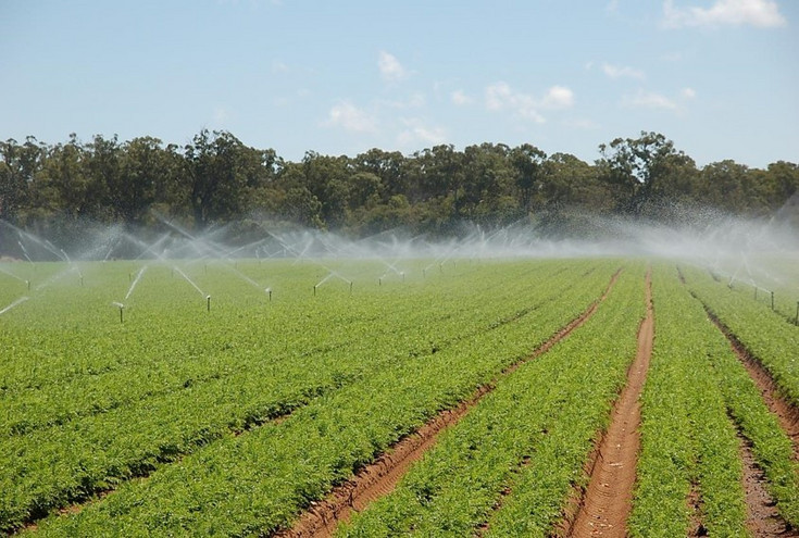
Farmers, agricultural consultants and agro-industry require timely, reliable and easy-to-use data and tools that helps to make better informed decisions about irrigation and fertilizer inputs, pesticide application, timing of harvest, crop production. At larger scale, land managers and policy makers also need trustworthy and up-to-date information about the use of land and natural resources, for instance to quantify crop area extent, water use and crop yield. In both cases, remote sensing can provide valuable information, with geo-spatial technologies to support analysis and visualization.
A team of researchers and PhD students at the Institute of Geomatics is involved in research and development of new solutions based on satellite remote sensing data and in the transfer of these solutions to the agricultural sector to support improved crop production while minimizing environmental impacts. Our research is based on high-spatial resolution (10-30m), multi-temporal and multi-spectral images acquired in the visible, near-infrared and short wave infrared regions (350–2500 nm), mainly from Earth observation satellites such as Landsat, DEIMOS-1 and Sentinel-2. For very detailed retrievals and 3D information we also employ commercial satellites as well as images acquired from airborne platforms.
Besides providing information about crop types etc., multi-spectral satellite sensor data also provide the possibility to estimate important vegetation biophysical variables such as Fraction of Absorbed Photosynthetically Active Radiation (fAPAR), leaf area index (LAI), chlorophyll content (Chl), input to crop growth, evapotranspiration and nutrient models. Multi-temporal remote sensing data offer a valuable source of information to monitor vegetation dynamics, development, growth and changes.
To produce maps of the mentioned biophysical variables, we use semi-empirical (e.g. Vegetation Indices) and physically-based approaches (e.g. inversion of radiative transfer models of vegetation). Our research also involves the investigation of best ways to combine multi-spectral, -temporal and -spatial information to improve the accuracy of satellite-based maps. Those variables also play an important role in ecosystem modelling and environmental studies and contribute to our understanding of biogeochemical fluxes and global climate.
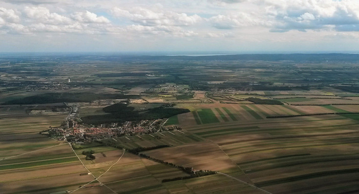
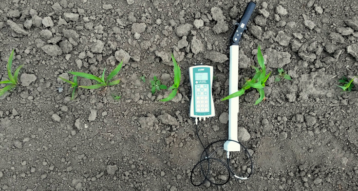
Validation and accuracy assessment is an indispensable step to gain a better understanding of the various elements of the agricultural system and to provide continuously improvements of and confidence in the derived maps. To support validation and accuracy assessments, we are heavily involved in field activities, especially in the Marchfeld region (Lower Austria), where we conduct (alone and with partners) intensive experimental activities. We also work with end-users to acquire data and feedback about the utility of our products and services. We also work with other Universities, National and International research centers and space agencies to develop, test and validate new data and methodologies.
If you are a student and you are interested in these topics, we suggest to start with the course “Remote Sensing and GIS in Natural Resource Management” (course no. 857320). This course will provide you with the basic elements to work with geo-spatial data. “Remote sensing and image processing” (course no. 857304) is an advanced course that will prepare you to work with us on a Master thesis or project activities later. Background and use of geo-spatial tools for data storage and web-based visualization is covered in the course “Web-GIS Technologies” (course no. 857309).
If you are a researcher and want to know more about our work, you can check our most recent publication below or visit the web-sites of our most relevant projects on the topic.
If you are interested in working with us for research and development, to test our technologies or the feasibility of new ideas, don´t hesitate to get in contact with us.
Current publications
First Experience with Sentinel-2 Data for Crop and Tree Species Classifications in Central Europe Land Resources Monitoring, Modeling, and Mapping with Remote Sensing, Book Chapter on Agriculture Comparison of the Landsat Surface Reflectance Climate Data Record (CDR) and manually atmospherically corrected data in a semi-arid European study area Costs and benefits of satellite-based tools for irrigation management Satellite-based irrigation advisory services: A common tool for different experiences from Europe to Australia
Contact person
Francesco Vuolo, Priv.Doz.Dr.
- Head
- Geomatik
- francesco.vuolo@boku.ac.at
- Phone
- +43 1 47654-85701, 85735
- Postal address
-
Geomatics
Peter-Jordan-Straße 82
1190 Vienna


