The intention of the cooperation between the Department of Government (University of Vienna) and the Institute of Landscape Architecture (BOKU) was twofold.
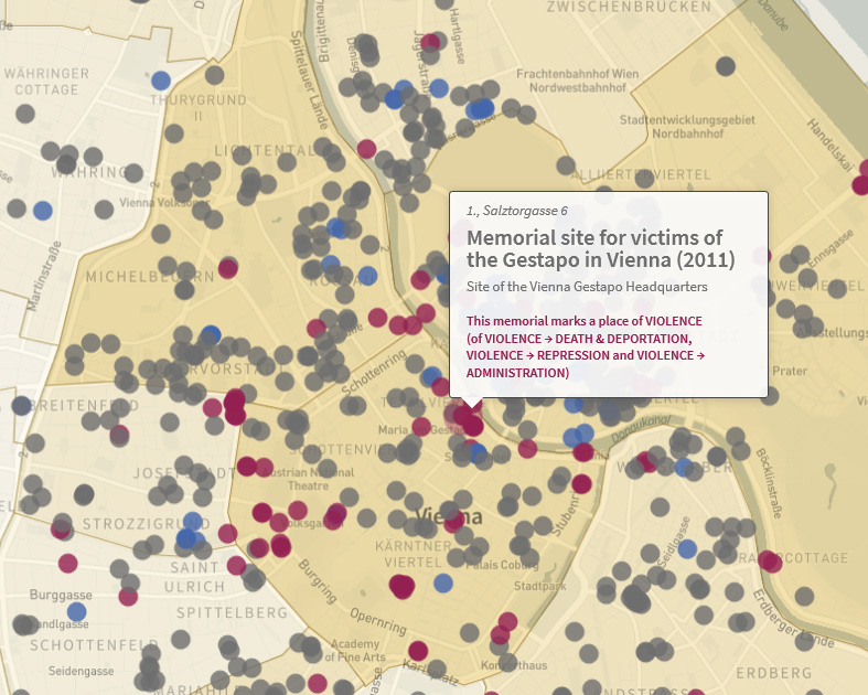
On the one hand, the project aimed at investigating and identifying temporal, topical, actor-related, and scale-related layers of memorialization that have shaped the whole cityscape and its public spaces from 1945 up to 2015. The subject of this strand consisted of research on all permanent monuments, plaques, exhibitions etc. which we identified, coded, and mapped along a range of spatial, temporal, thematic, formal, and social categories such as group references, gender, and instigators.
On the other hand, we aimed at exploring in depth the evolution of crucial places and spaces of memory in order to understand their creation, transformation, and usage.
Two data visualizations deal with the first stand of the project. They offer interactive maps allowing the user to define temporal, spatial, social, and thematic factors for drawing specific maps of remembrance (and of forgetting too).
Map of Remembrance as part of Wien Geschichte WIKI (in German): https://www.geschichtewiki.wien.gv.at/Karte_der_Erinnerung
Map of Remembrance for elaborated use (in English):
www.porem.wien
Porem was supported by WWTF, BMB, National Fund of the Republic of Austria for Victims of National Socialism.