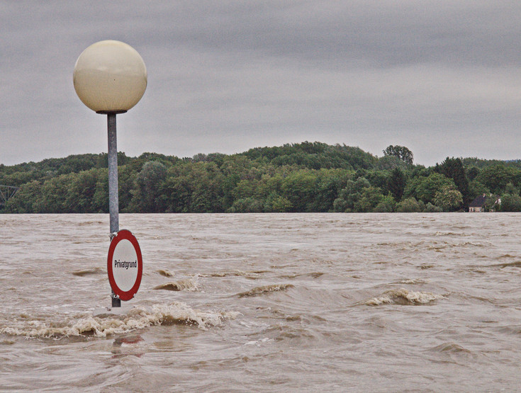
Spatial planning in natural hazard risk management operates at a preventive level. Prevention by means of spatial planning includes on the one hand the definition of acceptable risks – as a contribution to risk assessment – and on the other hand avoiding new unacceptable risks by keeping areas at risk free of highly vulnerable land uses (e.g. settlement areas and relevant infrastructure facilities) or by adapting land use to the risk.
This IRUB research area deals with the importance of land in natural hazard risk management and the corresponding options of spatial planning. The thematic focus in basic research, applied research and political consulting is on the regional dimension of planning in the context of natural hazards, governance in river basins and compensation schemes between upstream and downstream entities.
Due to the fact that climate change is an important driving force in natural hazard risk management it is taken into consideration in research on how to deal with uncertainties caused by climate change and residual risks in spatial planning, and it is also considered in the dynamic evaluation of flood exposure.
For further information please contact Ass.Prof. Dipl.-Ing. Dr.nat.techn. Walter Seher and Mag. Lukas Löschner, Bakk.techn.
Exemplary publications
Löschner, L.; Herrnegger, M.; Apperl, B.; Senoner, T.; Seher, W.; Nachtnebel, H.P. (2017): Flood risk, climate change and settlement development: a micro-scale assessment of Austrian municipalities. Regional Environmental Change 17(2): 311-322.
Seher, W., Löschner, L. (2016): Balancing upstream–downstream interests in flood risk management: experiences from a catchment-based approach in Austria. Journal of Flood Risk Management. Online first: DOI: 10.1111/jfr3.12266.
Löschner, L.; Nordbeck, R.; Scherhaufer, P.; Seher, W. (2016): Scientist-stakeholder workshops: A collaborative approach for integrating science and decision-making in Austrian flood-prone municipalities. Environmental Science and Policy 55: 345-352.
Seher, W., Löschner, L. (2015): Vertical and Horizontal Risk-Sharing in Flood-Related Planning. In: Hepperle, E., Dixon-Gough, R., Mansberger, R., Paulsson, J., Reuter, F., Yilmaz, M. (Eds.), Challenges for Governance Structures in Urban and Regional Development. Fragen zur Steuerung von Stadt- und Regionalentwicklung: 301-310; vdf Hochschulverlag AG an der ETH Zürich.
Seher, W. (2012): Interkommunale Kooperation im Hochwasserrisikomanagement. In: Kanonier, A. (Hrsg.), Raumplanung und Naturgefahrenmanagement, Forum Raumplanung 19: 53-61.
Seher, W., Eberstaller, J., Michor, K., Wagner, K. (2010): Strategien zur Umsetzung einer hochwasserangepassten Raumnutzung. Österreichische Wasser- und Abfallwirtschaft, 62: 30-36.
