A collection of declassified military intelligence photographs from the CORONA, ARGON, and LANYARD satellite systems availalbe in digital format for the period 1960 to 1972.
The first generation of U.S. photo intelligence satellites collected more than 860,000 images of the Earth’s surface between 1960 and 1972. The classified military satellite systems code-named CORONA, ARGON, and LANYARD acquired photographic images from space and returned the film to Earth for processing and analysis.
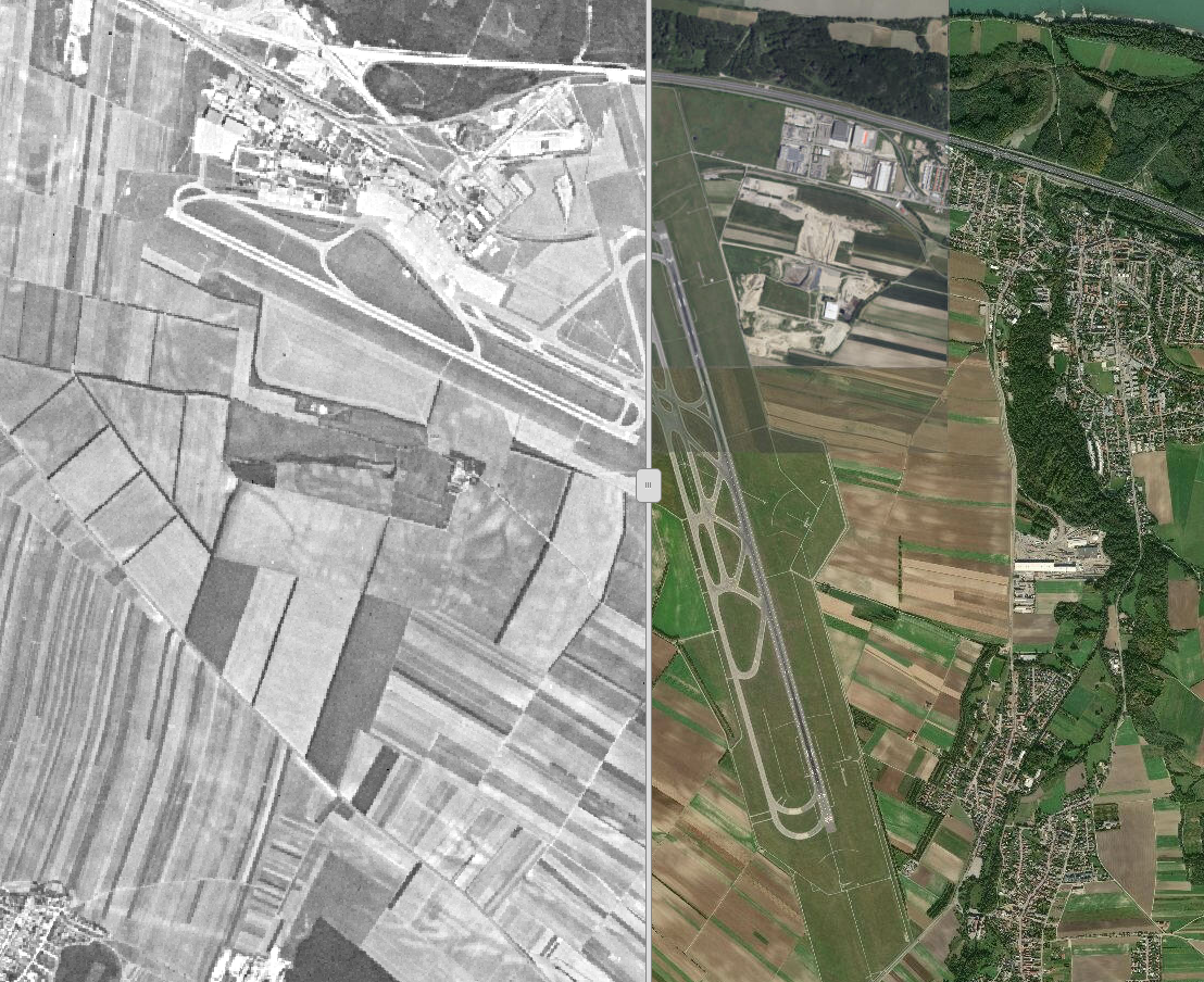
These data are declassified and they are particularly useful in areas where high spatial resolution aereal photograps are not available. For example, a team at BOKU used the CORONA data to study the socio-economic determinants of Land Use/Cover Change in Wetlands in East Africa. They presetend a Case Study Analysis of the Anyiko Wetland, Kenya.
Learn more about these data at this link or explore our collection of images taken over the city of Vienna. Can you see where land most changed?