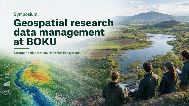
Symposium on GIS research data management
Join us for this special data science event which emerged from a collaboration with the cross-institutional BOKU project “Our Mission: Healthy Soils and Waters” as well as Core Facilities Bioinformatics and the Research Data Management unit of Research Support, Innovation & Technology Transfer (FIS-RDM).
Context
Much of terrestrial and aquatic ecosystems are analyzed and visualized using geographic information systems (GIS) and remote sensing methods (RS). Often, these data are created and managed within projects and stay invisible for colleagues of other institutes, departments and the wider public. It takes a lot of effort to unlock these valuable knowledge hubs, unless research data management infrastructures and practices are in place to ease collaboration for data sharing in and outside of the University.
A pre-workshop has been held in April 2026 to get a generic overview of needs from different key GIS users at BOKU.
Aim
In this symposium we gather to share and discuss existing solutions for geo-spatial research data management at BOKU University and best practices from other organizations.
A dedicated workshop will be held in autumn to discuss open challenges that have been identified earlier. The ultimate goal of the initiative is to identify and suggest pathways for advancing geo-spatial research data management at BOKU.
Program
14:00 - Opening
- Welcome - Theresa Scharl (Data Science Initiative)
- Fritz Leisch Award - Leon Hohenstein: "Hydrological drought forecasting and event-based model evaluation"
- Introduction by the co-organizers:
- Anna Hikl & Gabriela Miechtner (Research Support, Innovation & Technology Transfer - FIS- Research Data Management (RDM))
- Luca Zoccarato (Core Facility Bioinformatics)
- Matthias Schlögl (Institute of Mountain Risk Engineering & GeoSphere Austria)
- Christine Ornethsmüller (Institute of Aquatic Ecosystem Management & Institute of Soil Science)
14:40 - Session 1: Geospatial Insights on Mission Water and Soil
- Carina Seliger (Institute of Hydrobiology and Aquatic Ecosystem Management)
Balancing use and protection of riverine ecosystems: one map to show it all? And then what? The afterlife and exchange of (intermediate) GIS outputs. - Luca Bernardini (Soil Research)
From map to mission: Insights on soil health unlocked using GIS
15:15 - Break
15:25 - Session 2: Training, Tools, and Standards for FAIR Metadata in GIS
- Thomas Schauppenlehner (Institute of Landscape Development, Recreation and Conservation Planning)
Learning from previous experiences, failures and barriers to metadata - Matthias Schlögl (Institute of Mountain Risk Engineering & GeoSphere Austria)
Guiding principles and implementation strategies for reproducible geoscientific data analysis - Francesco Vuolo (Insitute of Geomatics)
Fair or not fair? Teaching on how to make geospatial data truly FAIR - Max Mehofer (Experimental Farm Groß-Enzersdorf)
Tool for plot recognition and clipping of drone data including metadata - Discussion of potential for the BOKU GIS community
16:10 - Coffee break and networking
16:40 - Session 3: Storage, Computing, and FAIR Geospatial Data by Design
- Andrei Hornoiu (BOKU-IT)
Overview of existing solutions by BOKU-IT - Karl Bittner, Thomas Schauppenlehner (Landscape Innovation Lab)
Data management at LILA: Our philosophy of processes & simplicity - Tim Ritter (Institute for Forest Growth)
Small institute, big data – storage, HPC and FAIR data sharing with limited resources. Not best practice. Just what works for us. - Podium discussion & summary of current strengths of existing solutions, current barriers and potential for innovation
17:45 - Wrap up
18:00 - After-work Drinks and Networking
Note: You are currently not logged in to BOKUweb
Note: You are currently not logged in to BOKUweb
To view access-protected content on this page, please click on the login button in the upper right corner and log in with your usual BOKU credentials.
If you as an employee are not authorized to log in,
please contact the
IT managers / EDV-Verantwortliche of your organizational unit.