Recultivation 21 - Defining the urban landscape with agriculture and forestry
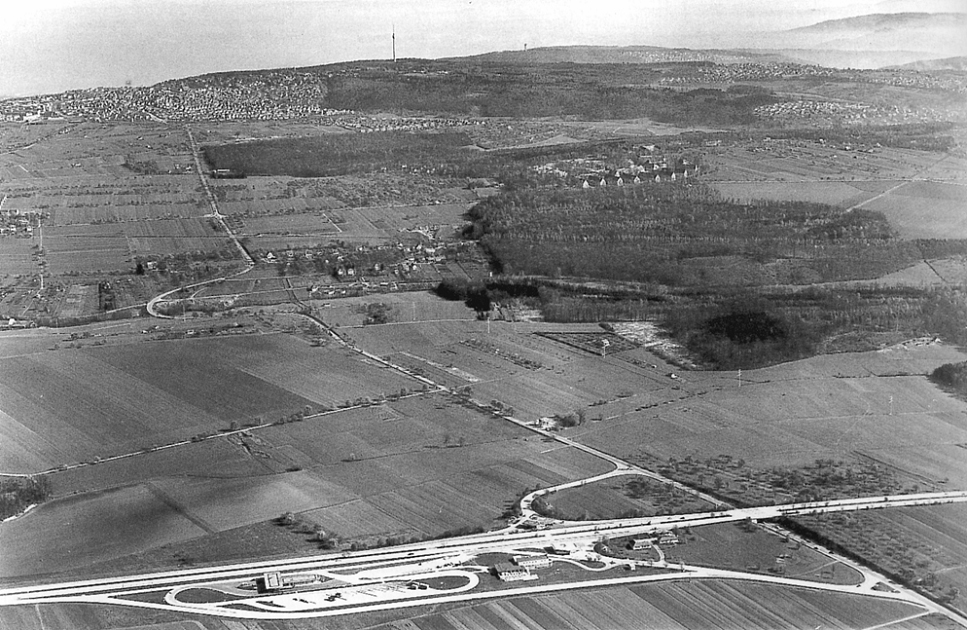
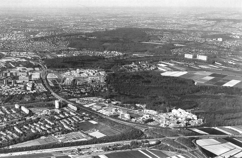

Frank Lohrberg - lohrberg stadtlandschaftsarchitektur, Stuttgart presentation Recultivation 21 Recultivation 21 Building the city with the open space In his contribution to the 1987 urban planning competition for the new town Melun-Sénart, south of Paris, Rem Koolhaas breaks with the idea that the urban, the built can be planned and mastered. In his view what is actually built is out of control subject to permanent political, financial, cultural turmoil. While what is built is fundamentally suspect, the unbuilt is green, ecological and popular. That leads Koolhaas to the idea that nothingness may be the last subject of plausible certainties. He develops a strategy to define the city by bands of open spaces which are of different use. Some bands are tracted to preserve the original landscape. Other bands run parallel to the highway in order to make them attractive urban elements for the implementation of supermarkets and individual headquarters. The complements to the bands are the islands: According to their size, shape, location and relation to their environment they get a specific urban program. Each island has a maximum of autonomy that is intended to reinforce the coherence of the whole. It is the system of bands that has to guarantee a specific identity, regardless or even in spite of its future architecture. Looking back we can see, that with his approach for Melun-Sénart Koolhaas was one of the first planners to point out that the modern city can no longer be defined only by its built surfaces. Today his ideas are getting a new relevance. Because of an ongoing suburbanisation the cities have changed to various forms of new urban landscapes: a mixture of housing, commercial, industrial and traffic areas and open space in between. In Germany, more and more cities and in particular conurbations are using that in-between open space as an infrastructure to enhance the quality of the whole region. The Emscher Park: open space as a regional infrastructure The maybe tbest known German project in this context in Germany is the Emscher Landschaftspark in the Ruhr area. It was founded by the international Building Exhibition (IBA) which took place in the 1990s. The Emscher area is one of Germanys most densely populated and highly industrialised regions. Different to Melun-Sénart the IBA focused on the revitalisation of an existing agglomeration, but again it used open spaces to redefine the urban landscape. One main target of the Emscher Landschaftspark was and still is to bring the Emscher river, which flows through the region from east to west, back to its natural state. For many decades the river has been used as an open sewage system with no life in it. Today its revitalisation, imposed by the European Unions water policy is part of an ambitious urban planning program. The conversion will take approximately 20 years. It is not only an ecological challenge. At the end, the project wants to give the region a new Emscher valley a central greenway that is thought to be a backbone, holding together patches of settled areas a mega-structure that allows orientation in the urban landscape. My office stadtlandschaftsarchitektur is involved in the work of the Emscher Landschaftspark. In 2003 we finished a study on the role of agriculture and forestry for the new Masterplan 2010 (which was recently published). The early Emscher Park had no specific approach on the regions agriculture because the planners had focused on old industrial sites. So there was a need to define the new role of agriculture and forestry for the Park in the future. Building a park in the shrinking Emscher area What did we find out? At first we had to recognize that despite of IBAs success the regions deindustrialization is still going on. New economies could be established only at a few places like the Zeche Zollverein in Essen (design and exhibitions), but that was not enough to stop the regions loss of population. In 2015 in the Ruhr area will be the home of about 4,5 millions of people, which is one million less than 1990 when the IBA started. Especially young and well educated people are moving away. The Emscher area is one of Germanys shrinking areas. But while the people are moving away, the wood is coming back. According to some estimations of the Ministry of the Environment up to 10.000 ha of land have or will turn into wasteland. For several years planners have seen this process not only as a crisis but as a chance: a chance to bring back nature in the agglomeration, a chance for wilderness. But in my office we think that wilderness is not the master strategy for shrinking areas. Why did we come to this conclusion? Wasteland and wilderness Wilderness is a concept that works very well in the circumstances of economic growth, of density and of the overuse of landscape. In that situation wilderness can be perceived as a specific quality: wilderness is the place where people can find a counterpart to their overruled everyday live. In areas where people and production are shrinking, wilderness is no longer seen as boon, it is regarded as a threat and as a symbol of the economic crisis. If factories are closing and people are leaving a run-down-effect is imminent. The neighbourhood is neglected, vandalism is increasing, more people are moving away. It took a longer time but finally we convinced the Emscher Park initiative not only to focus on wilderness but to develop new strategies for wasteland. These strategies are working the other way round. They are trying to establish new forms of landuse and the most important goal of that recultivation is to show the inhabitants: this area is not a lost area, there are people working here, maintaining the vegetation, the roads and paths. It is a public space and it is not dangerous to be there. You are welcome to take a look what is going on here, feel free to join the new activities on the wasteland. Four models for a recultivation of wasteland In our study for the Emscher Park we developed several models for the reuse of wasteland. In the model Aneignung (which means appropriation by people) the wasteland is recultivated by the local peoples activities. The 10.000 hectares of wasteland are interpreted as a big playing field for the whole region. The sites are opened for new groups of users like mountain bikers and so on. Up to now the park planners have tended to protect the wasteland from new uses by declaring bans and orders. For two reasons we think that this nature protection approach is the wrong way: On the one hand the wastelands vegetation is quite hard-wearing and well adapted to recurrent impacts. On the other hand, to improve the peoples acceptance of the wasteland they have to be involved in the sites development. That is why in the future the Emscher Landschaftspark has not only to look at the wasteland but at its integration in the urban context. Which are the possibilities of using the wasteland for stabilizing the neighbourhoods? The process of the appropriation can not be planned in a classical way. Planners work is to encourage the local people and to be open minded about what the people suggest. A good example describing this approach can be found in the Landschaftspark Duisburg-Nord where local sport groups are climbing at the walls of former coal bunkers. That was not planned, it just happened, but the planners took advantage of the local initiative to vitalize the park and to give the park some fresh and amazing images that symbolize the fundamental change of the region. New forms of urban forestry The Boskett (the German word for boscage) model is also trying to define a wooded wasteland as an urban place, but it works with more classical landscape design approaches. According to the boscages of a baroque park the woods edges are shaped to get a well-defined form in which the inside wilderness forms a contrast with a public urban space outside. Inside the boscages there are no paths, no signs and everybody has to find his way on his one. Who could maintain the boscages? We think that the traditional forestry should be involved because of its long term experience and because of its administration that is used to work on a regional scale. But as we could find out in other projects, today foresters in urban regions still focus on the timber production. They do not ignore that forests in urban areas have a number of social functions, but these functions are only regarded as a restriction of the timber production. The foresters ignore that e.g. recreation and designing wood images could be new segments of income. That is why our office helps the foresters in realising the whole economic potential of their woods and in offering a broader range of services to the public. For example in a pilot-project of the Regional Park Saar, the so called Saarkohlenwald, the foresters at first did not see the chance the regional park was giving to them. Then we helped them to work out a catalogue of services to the public. By doing that, the foresters recognised the economic potential of the regional park. Today the foresters e.g. offer to create a new jungle within the Saarkohlenwald, to build paths and resting places or to change the woods images on the basis of some specific aesthetic goals that were defined in a spatial vision for the regional park.